Details of record no: 35397
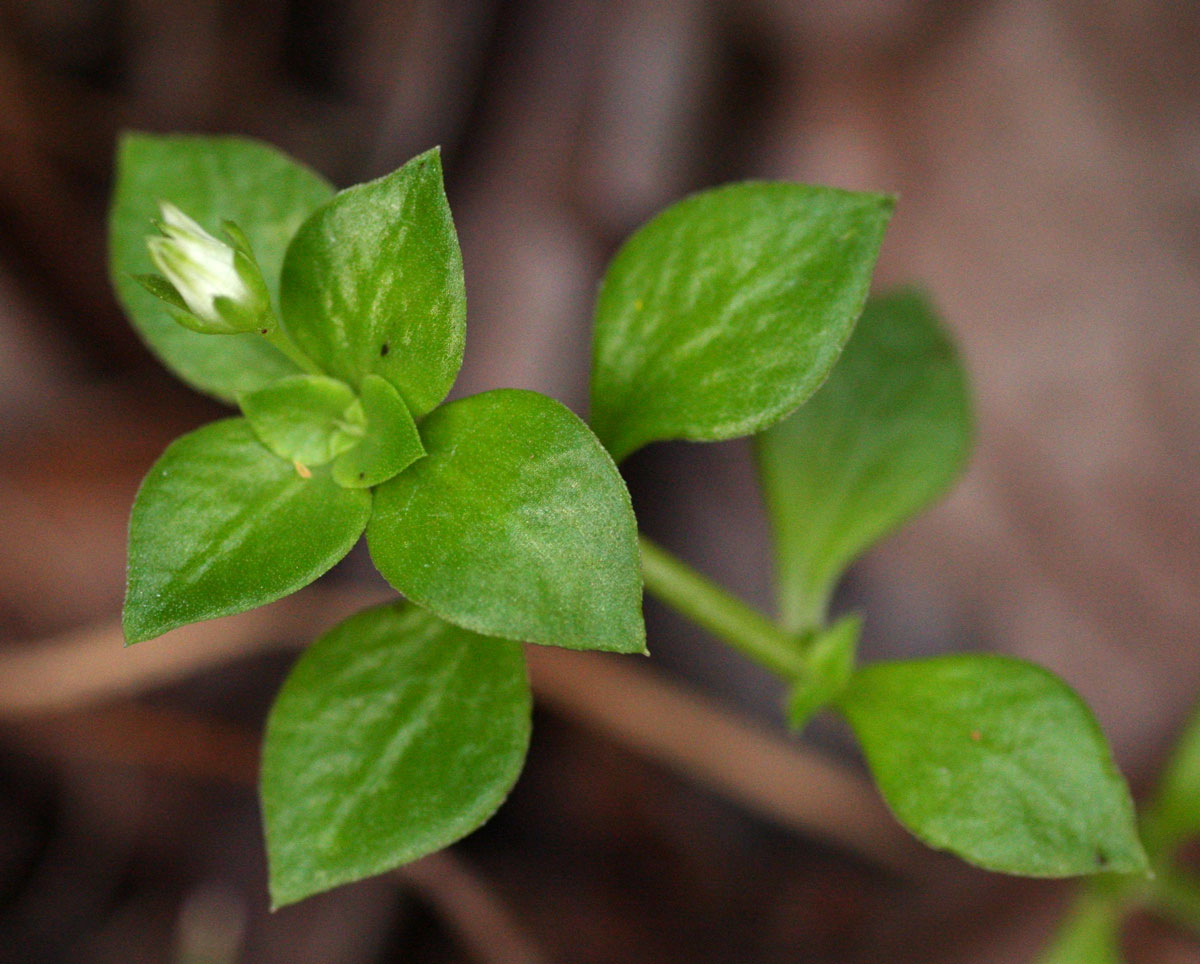
Crassula alsinoides
Three blocks of information are displayed on this page, namely: (a) details of the record; (b) the record point plotted using Google Maps and (c) any images attached to the record. Please scroll down to see the various items.
Record details:
| Date: | 28 Dec 2010 |
| Recorder(s): | BT Wursten P Ballings |
| Collector(s): | |
| Determiner(s): | BT Wursten |
| Confirmer(s): | |
| Herbarium: | |
| Habitat: | Somewhat disturbed riverine vegetation among seasonally flooded boulders in river |
| Location: | Bridge of the old power station, Nyahode river, road to Rusitu |
| Location code(s): | |
| Outing code: | 8 |
| Planted code: | Not planted |
| Country: | Zimbabwe |
| Quarter Degree Square: | 2032B2 |
| Grid reference: | |
| FZ divisions: | E |
| Altitude (metres): | 783 |
| Notes: | |
| Latitude, Longitude: | -20.009510, 32.841440 |
| Location Accuracy Code: | 7 |
Map of species record
Images:
Image: 3

| Species id: | 125040 |
| Image id: | 3 |
| Image number: | 9301 |
| Photographer: | BT Wursten | Code 1 if image of a herbarium specimen: | 0 |
| Herbarium in which image taken: | |
| Code 1 if image not to be displayed: | 0 |
| Image notes: | |